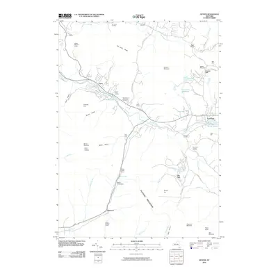
2010 Map of Hunter
USGS Topo · Published 2010About this map
Schoharie Creek carves through this Catskill landscape, anchoring a corridor of mountain settlements from Hunter to Tannersville. The terrain is defined by steep notches and hollows, where early family legacies are preserved in the Mill Family Cemetery and East Jewett Cemetery. The presence of the Hunter Mountain Fire Tower atop Hunter Mountain underscores the area's long-standing focus on forest management and conservation.
Find a feature on this map
80 named features on this map. Tap any name to fly to it.
Don’t see what you’re looking for? This feature index may not catch every label — zoom into the map to look around manually.
Map Details
Editions of this 2010 Hunter Map
This is the sole edition of this map. No revisions or reprints were ever made.
Other maps of this area

1892 · Kaaterskill
USGS Topo · 1:62,500

1893 · Kaaterskill
USGS Topo · 1:62,500

1893 · Durham
USGS Topo · 1:62,500

1894 · Kaaterskill
USGS Topo · 1:62,500

1894 · Durham
USGS Topo · 1:62,500

1899 · Kaaterskill
USGS Topo · 1:62,500

1900 · Phoenicia
USGS Topo · 1:62,500

1901 · Gilboa
USGS Topo · 1:62,500

1903 · Gilboa
USGS Topo · 1:62,500

1903 · Phoenicia
USGS Topo · 1:62,500