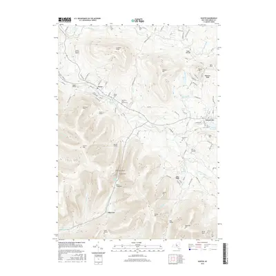
2016 Map of Hunter
USGS Topo · Published 2016About this map
Hunter and the nearby village of Tannersville serve as the primary hubs in this high-elevation portion of the Catskills. The landscape is defined by the steep relief of the E Jewett Range and peaks like Hunter Mtn and Plateau Mtn. Narrow passes and hollows dictate the layout of the road network, most notably at Stony Clove Notch, where the highway squeezes between rock walls near Devils Tombstone.
Find a feature on this map
106 named features on this map. Tap any name to fly to it.
Don’t see what you’re looking for? This feature index may not catch every label — zoom into the map to look around manually.
Map Details
Editions of this 2016 Hunter Map
This is the sole edition of this map. No revisions or reprints were ever made.
Other maps of this area

1892 · Kaaterskill
USGS Topo · 1:62,500

1893 · Kaaterskill
USGS Topo · 1:62,500

1893 · Durham
USGS Topo · 1:62,500

1894 · Kaaterskill
USGS Topo · 1:62,500

1894 · Durham
USGS Topo · 1:62,500

1899 · Kaaterskill
USGS Topo · 1:62,500

1900 · Phoenicia
USGS Topo · 1:62,500

1901 · Gilboa
USGS Topo · 1:62,500

1903 · Gilboa
USGS Topo · 1:62,500

1903 · Phoenicia
USGS Topo · 1:62,500