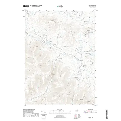
2019 Map of Hunter
USGS Topo · Published 2019About this map
Hunter and Tannersville serve as the primary hubs for this high-elevation landscape, where deep valleys known as kills and notches dictate the path of human settlement. The map documents a dense network of local history, preserved in sites like the Latvian Memorial Park Cem and Evergreen Cem. Transportation and recreation are centered around the dramatic topography of Hunter Mtn and its Colonels Chair, while smaller communities like Elka Park and Onteora Park are situated near high peaks and protected reservoirs. Notable geological and cultural landmarks, such as the narrow Stony Clove Notch and the Devils Tombstone, illustrate the challenging terrain that shaped early passage through the region. Water resources are prominent, including the Tannersville Reservoirs, Schoharie Creek, and Lake Rip Van Winkle, which support the various villages tucked between the East Jewett Range and Plateau Mtn.
Find a feature on this map
122 named features on this map. Tap any name to fly to it.
Don’t see what you’re looking for? This feature index may not catch every label — zoom into the map to look around manually.
Map Details
Editions of this 2019 Hunter Map
This is the sole edition of this map. No revisions or reprints were ever made.
Other maps of this area

1892 · Kaaterskill
USGS Topo · 1:62,500

1893 · Kaaterskill
USGS Topo · 1:62,500

1893 · Durham
USGS Topo · 1:62,500

1894 · Kaaterskill
USGS Topo · 1:62,500

1894 · Durham
USGS Topo · 1:62,500

1899 · Kaaterskill
USGS Topo · 1:62,500

1900 · Phoenicia
USGS Topo · 1:62,500

1901 · Gilboa
USGS Topo · 1:62,500

1903 · Gilboa
USGS Topo · 1:62,500

1903 · Phoenicia
USGS Topo · 1:62,500