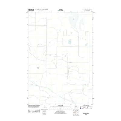
2011 Map of Hunter Lake
USGS Topo · Published 2011About this map
Big Lake and Hunter Lake dominate this high-plains landscape in Stillwater County, where the terrain transitions from seasonal water bodies to the defined drainage of North Fork Valley Creek. The road network reflects a structured ranching and energy-focused economy, with corridors like Wheat Basin Rd, Nordahl Rd, and Oil Well Rd connecting the remote sections of this upland area. A prominent landform known as Antelope Point stands as a clear landmark above the surrounding draws and basins. This corner of Montana, mapped in the early 21st century, maintains a character defined by its water resources and utility routes, including Wig Spring and the long stretches of Columbus Molt Rd that traverse the open range.
Find a feature on this map
11 named features on this map. Tap any name to fly to it.
Don’t see what you’re looking for? This feature index may not catch every label — zoom into the map to look around manually.
Map Details
Editions of this 2011 Hunter Lake Map
This is the sole edition of this map. No revisions or reprints were ever made.
Other maps of this area

1892 · Stillwater
USGS Topo · 1:125,000

1954 · Billings
USGS Topo · 1:250,000

1956 · Hunter Lake
USGS Topo · 1:24,000

1956 · Battle Butte
USGS Topo · 1:24,000

1956 · Horse Butte
USGS Topo · 1:24,000

1956 · Molt
USGS Topo · 1:24,000

1956 · Wheat Basin
USGS Topo · 1:24,000

1956 · Rock Spring
USGS Topo · 1:24,000

1956 · Columbus East
USGS Topo · 1:24,000

1956 · Park City
USGS Topo · 1:24,000