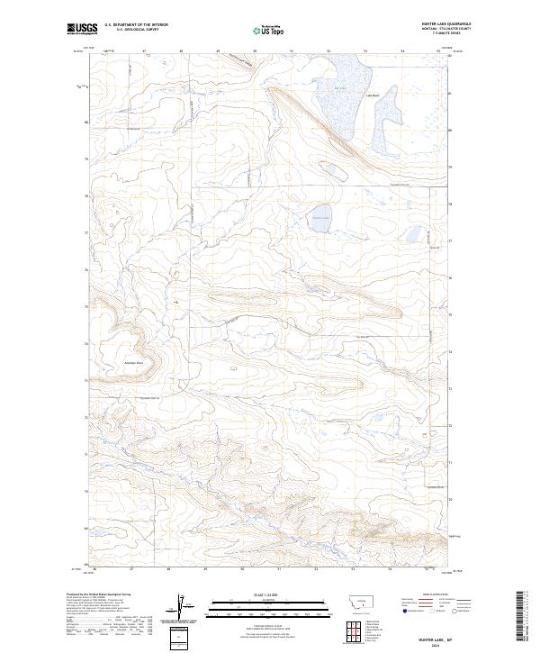
2024 Map of Hunter Lake
USGS Topo · Published 2024About this map
Big Lake and the broader Lake Basin dominate the northern landscape of this Stillwater County region, where the high plains of Montana meet intermittent water systems. The terrain is characterized by significant topographic rises like Rattlesnake Ridge and Antelope Point, overlooking a network of rural roads such as Columbus Molt Rd and Oil Well Rd that follow the section lines of the Public Land Survey System. These routes provide access to the various depressions and seasonal basins that define the local hydrology, including Hunter Lake and the smaller Wig Spring. To the south, the land begins to drain toward the North Fork Valley Creek, marking a transition from the larger lake beds to more defined creek valleys. The map reflects a modern rural infrastructure of local connectors like Wheat Basin Rd and Lutgen Rd, essential for the agricultural and land management activities in this sparsely populated area.
Find a feature on this map
22 named features on this map. Tap any name to fly to it.
Don’t see what you’re looking for? This feature index may not catch every label — zoom into the map to look around manually.
Map Details
Editions of this 2024 Hunter Lake Map
This is the sole edition of this map. No revisions or reprints were ever made.
Other maps of this area

1892 · Stillwater
USGS Topo · 1:125,000

1954 · Billings
USGS Topo · 1:250,000

1956 · Hunter Lake
USGS Topo · 1:24,000

1956 · Battle Butte
USGS Topo · 1:24,000

1956 · Horse Butte
USGS Topo · 1:24,000

1956 · Molt
USGS Topo · 1:24,000

1956 · Wheat Basin
USGS Topo · 1:24,000

1956 · Rock Spring
USGS Topo · 1:24,000

1956 · Columbus East
USGS Topo · 1:24,000

1956 · Park City
USGS Topo · 1:24,000