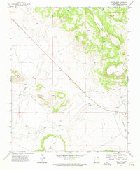
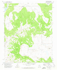
1971 Map of Hunter Mesa
USGS Topo · Published 1974About this map
The high plateau country of Colfax County is defined here by its massive mesas and the infrastructure of ranching and early transit. During the early 1970s, the landscape remained dominated by prominent landforms such as Hunter Mesa, Black Mesa, and Juan Torres Mesa. These elevated features are dissected by deep drainages like Miller Canyon and Burchett Can, with water sources such as Salazar Spring providing vital points for livestock in this arid environment.
Find a feature on this map
19 named features on this map. Tap any name to fly to it.
Don’t see what you’re looking for? This feature index may not catch every label — zoom into the map to look around manually.
Map Details
Editions of this 1971 Hunter Mesa Map
This is the sole edition of this map. No revisions or reprints were ever made.
Other maps of this area

1912 · Raton
USGS Topo · 1:62,500

1914 · Raton
USGS Topo · 1:62,500

1954 · Raton
USGS Topo · 1:250,000

1958 · Raton
USGS Topo · 1:250,000

1971 · Clifton House
USGS Topo · 1:24,000
1971 · Raton
USGS Topo · 1:24,000
1971 · Dale Mountain
USGS Topo · 1:24,000
1971 · Eagle Tail Mountain
USGS Topo · 1:24,000

1971 · Johnson Park
USGS Topo · 1:24,000
1971 · Yankee
USGS Topo · 1:24,000