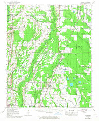
1939 Map of Hunter
USGS Topo · Published 1946About this map
The Cache River and its bottomlands define this pre-war landscape where Woodruff, Cross, St. Francis, and Monroe Counties converge. This 1930s survey reveals a dense network of small communities and rural institutions supported by the rail lines of the era, including the St Louis Southwestern and the Chicago Rock Island and Pacific. The agricultural character of the region is evident in the many scattered churches and schools, such as Hillmann Jr High Sch and Mt Zion Ch & Sch, which served the local populations in Hunter, Cotton Plant, and Wiville.
Find a feature on this map
58 named features on this map. Tap any name to fly to it.
Don’t see what you’re looking for? This feature index may not catch every label — zoom into the map to look around manually.
Map Details
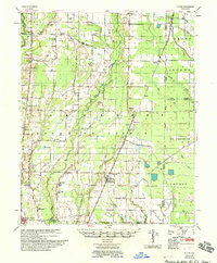
Editions of this 1939 Hunter Map
2 editions found
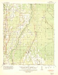
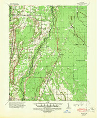
Historical Maps of McCrory Through Time
3 maps found