1958 Map of Hunter
USGS Topo · Published 1958About this map
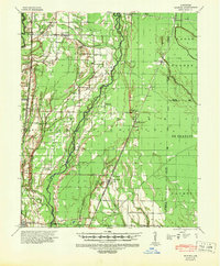
Cache River and its intricate network of drainage features like Angus Ditch and Mill Ditch define the agricultural landscape of this Woodruff and Cross County region in the late 1950s. The terrain is a complex of wetlands and ridges, notably Nibbin Ridge and Beard Slash, where the era's land management is visible through numerous flumes, levees, and pipelines. The settlement pattern follows the rail corridors, with Hunter and Patterson serving as focal points along the St Louis Southwestern and Missouri Pacific lines.
Find a feature on this map
86 named features on this map. Tap any name to fly to it.
Don’t see what you’re looking for? This feature index may not catch every label — zoom into the map to look around manually.
Map Details
Editions of this 1958 Hunter Map
This is the sole edition of this map. No revisions or reprints were ever made.
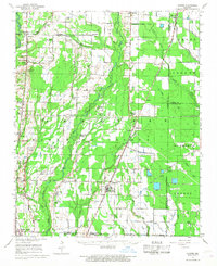
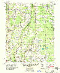
Historical Maps of McCrory Through Time
3 maps found