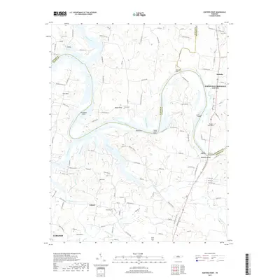
2019 Map of Hunters Point
USGS Topo · Published 2019About this map
The Cumberland River carves a winding path through this Middle Tennessee landscape, defining the boundaries between Wilson, Sumner, and Trousdale counties. Along these fertile bends, settlements such as Cairo and Hunters Point maintain their historical proximity to the water, while the interior is dotted with family-named burial grounds like Ebenezer Cem and Conatser Cem. The river's influence is evident in the naming of prominent landforms like Sevenmile Bluff and Indian Ladder Bluff, as well as the numerous islands and bars including Gunningham Island and Kings Eddy Bar.
Find a feature on this map
119 named features on this map. Tap any name to fly to it.
Don’t see what you’re looking for? This feature index may not catch every label — zoom into the map to look around manually.
Map Details
Editions of this 2019 Hunters Point Map
This is the sole edition of this map. No revisions or reprints were ever made.
Other maps of this area

1942 · Statesville
USGS Topo · 1:100,000

1942 · Gallatin
USGS Topo · 1:100,000

1942 · Lebanon
USGS Topo · 1:100,000

1951 · Lebanon
USGS Topo · 1:24,000

1951 · Martha
USGS Topo · 1:24,000

1955 · Bethpage
USGS Topo · 1:24,000

1955 · Laguardo
USGS Topo · 1:24,000

1955 · Hunters Point
USGS Topo · 1:24,000

1955 · Gallatin
USGS Topo · 1:24,000

1956 · Nashville
USGS Topo · 1:250,000