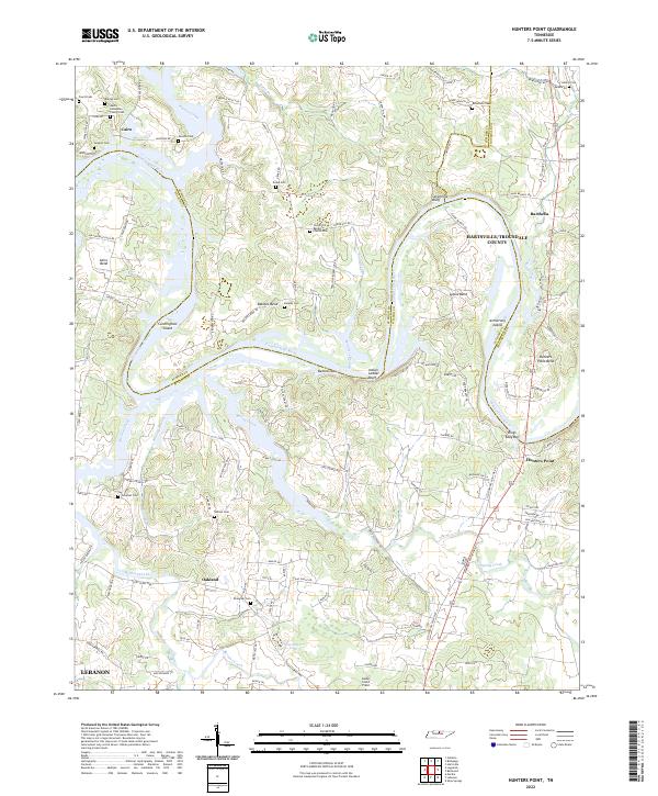
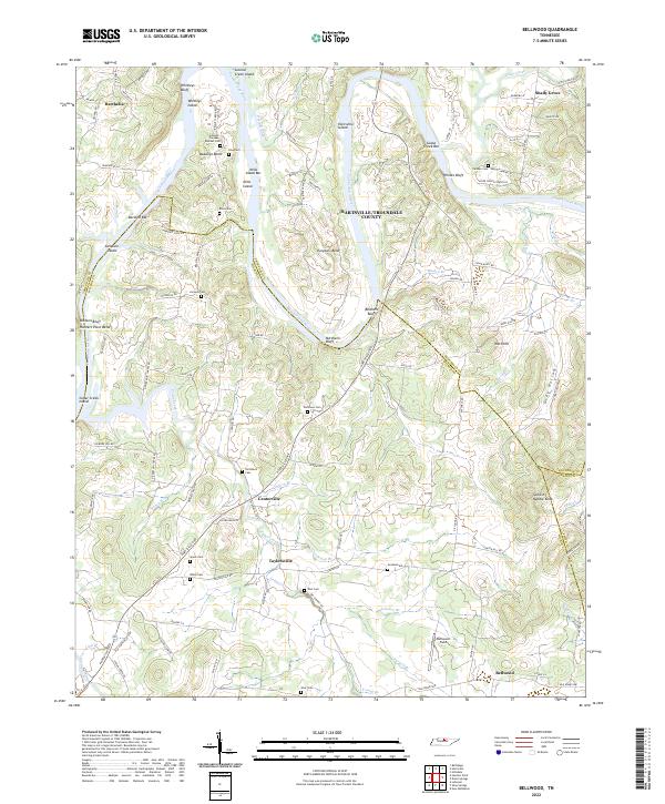
2022 Map of Hunters Point
USGS Topo · Published 2022About this map
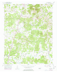
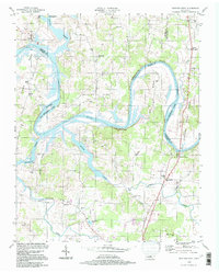
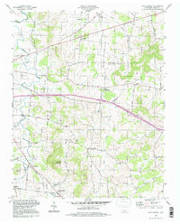
The Cumberland River carves a deep, winding path through this region, forming dramatic landforms like Indian Ladder Bluff and Sevenmile Bluff. These river bends created distinctive pockets of settlement and industry, such as Cairo Bend and Hunters Point Bend, while mid-river features like Cunningham Island and Armstrong Island define the waterway's character. The map captures a landscape defined by its river-valley geography and long-standing family ties, evident in the numerous small burial grounds and landmarks scattered throughout the hills.
Find a feature on this map
130 named features on this map. Tap any name to fly to it.
Don’t see what you’re looking for? This feature index may not catch every label — zoom into the map to look around manually.
Map Details
Editions of this 2022 Hunters Point Map
This is the sole edition of this map. No revisions or reprints were ever made.
Historical Maps of Oakland Through Time
16 maps found
1951 Martha
Wilson County, TN
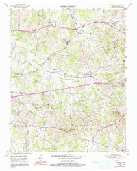
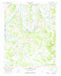
1955 Hunters Point
Wilson County, TN
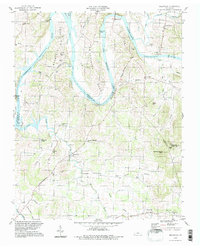
1955 Laguardo
Wilson County, TN
1956 Vine
Wilson County, TN
1958 Bellwood
Wilson County, TN
1958 Shop Springs
Wilson County, TN
1994 Bellwood
Wilson County, TN
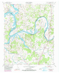
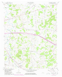
1994 Hunters Point
Wilson County, TN
1994 Shop Springs
Wilson County, TN
1994 Vine
Wilson County, TN
2022 Bellwood
Wilson County, TN
2022 Hunters Point
Wilson County, TN
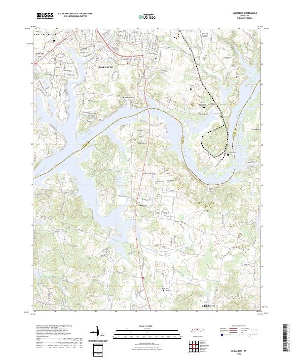
2022 Laguardo
Wilson County, TN
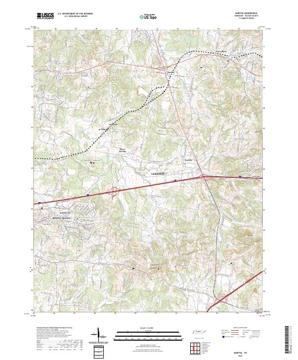
2022 Martha
Wilson County, TN
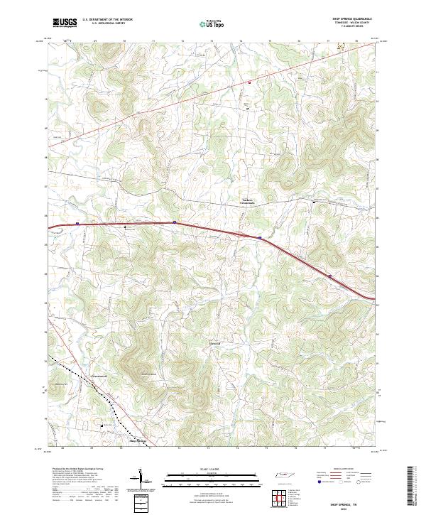
2022 Shop Springs
Wilson County, TN
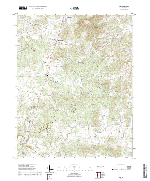
2022 Vine
Wilson County, TN