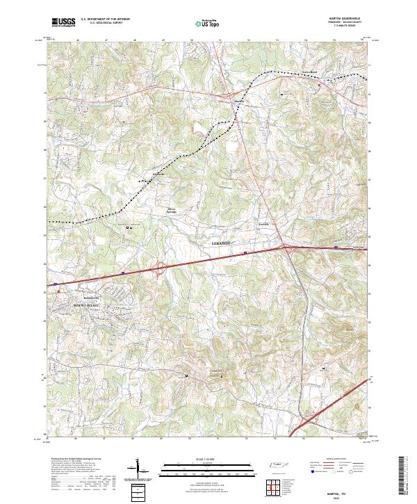
2022 Map of Martha
USGS Topo · Published 2022About this map
Mount Juliet and the western edge of Lebanon anchor this landscape where residential growth meets a network of established family cemeteries and creek drainages. Small rural communities like Silver Springs, Leeville, and Martha are positioned along historic transport corridors such as Lebanon Rd and the Leeville Pike. The topography is defined by the numerous branches of Cedar Creek, including the Middle Fork and North Fork, which carve through the terrain between heights like Seay Hill and Big Hill. For those researching local heritage, the map identifies several smaller burial grounds, including the Viverett, Gaines, and Lohman cemeteries, offering a detailed look at the geographic distribution of families across this part of Wilson County.
Find a feature on this map
40 named features on this map. Tap any name to fly to it.
Don’t see what you’re looking for? This feature index may not catch every label — zoom into the map to look around manually.
Map Details
Editions of this 2022 Martha Map
This is the sole edition of this map. No revisions or reprints were ever made.
Other maps of this area

1903 · Nashville
USGS Topo · 1:125,000

1932 · Hermitage
USGS Topo · 1:62,500

1942 · Gallatin
USGS Topo · 1:100,000

1942 · Lebanon
USGS Topo · 1:100,000

1951 · Lebanon
USGS Topo · 1:24,000

1951 · Martha
USGS Topo · 1:24,000

1952 · Hendersonville
USGS Topo · 1:24,000

1952 · Hermitage
USGS Topo · 1:24,000

1952 · La Vergne
USGS Topo · 1:24,000

1955 · Laguardo
USGS Topo · 1:24,000