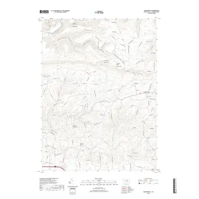
2019 Map of Huntersville
USGS Topo · Published 2019About this map
The settlement of Huntersville serves as the primary focal point of this Pennsylvania landscape, where the terrain is defined by a series of prominent ridges and knobs. Significant genealogy and local history resources are found throughout the region, including the Huntersville Trinity Cem, Saint James Lutheran Church Cem, and the Church of the Good Shepherd Cem. These sites, along with Fairfield Cem and Webster Cem, provide a detailed record of the community's early residents and their spiritual foundations.
Find a feature on this map
112 named features on this map. Tap any name to fly to it.
Don’t see what you’re looking for? This feature index may not catch every label — zoom into the map to look around manually.
Map Details
Editions of this 2019 Huntersville Map
This is the sole edition of this map. No revisions or reprints were ever made.
Other maps of this area

1924 · Milton
USGS Topo · 1:62,500

1927 · Eagles Mere
USGS Topo · 1:48,000

1930 · Warrensville
USGS Topo · 1:62,500

1932 · Eagle Mere
USGS Topo · 1:62,500

1934 · Warrensville
USGS Topo · 1:62,500

1935 · Hughesville
USGS Topo · 1:62,500

1953 · Hughesville
USGS Topo · 1:62,500

1953 · Warrensville
USGS Topo · 1:62,500

1953 · Eagles Mere
USGS Topo · 1:62,500

1953 · Milton
USGS Topo · 1:62,500
Featured Places
- Muncy Township, PA
- Upper Fairfield Township, PA
- Fairfield Township, PA
- Plunketts Creek Township, PA
- Gamble Township, PA