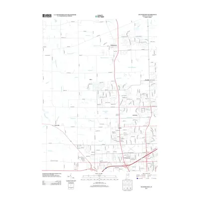
2013 Map of Huntertown
USGS Topo · Published 2013About this map
Huntertown anchors this northern portion of Allen County, showing a landscape defined by traditional drainage networks and modern suburban expansion. The survey captures several smaller communities such as Wallen, Royville, and Academie, alongside the historical site of Dunn Mill to the west. Water management is a central theme of the geography, with numerous named ditches and branches like Willow Creek Branch and Geller Ditch draining the land toward the Eel River.
Find a feature on this map
121 named features on this map. Tap any name to fly to it.
Don’t see what you’re looking for? This feature index may not catch every label — zoom into the map to look around manually.
Map Details
Editions of this 2013 Huntertown Map
This is the sole edition of this map. No revisions or reprints were ever made.
Other maps of this area

1953 · Fort Wayne
USGS Topo · 1:250,000

1955 · Ege
USGS Topo · 1:24,000

1956 · Fort Wayne
USGS Topo · 1:250,000

1956 · Fort Wayne West
USGS Topo · 1:24,000

1956 · Fort Wayne East
USGS Topo · 1:24,000

1956 · Cedarville
USGS Topo · 1:24,000

1957 · Auburn
USGS Topo · 1:24,000

1957 · Huntertown
USGS Topo · 1:24,000

1957 · Garrett
USGS Topo · 1:24,000

1957 · Churubusco
USGS Topo · 1:24,000