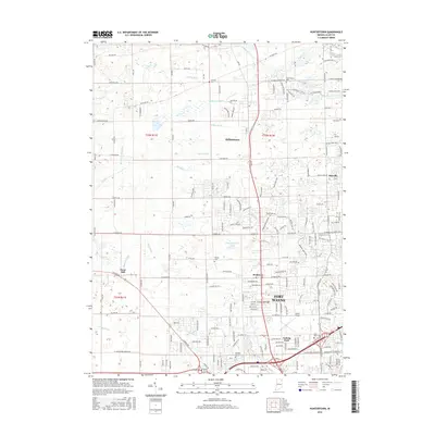
2016 Map of Huntertown
USGS Topo · Published 2016About this map
The northern reaches of Fort Wayne anchor this survey, showing a landscape defined by the suburban expansion and the intricate drainage of Allen County. Historic small settlements like Wallen and Royville sit at the crossroads of a modernizing transportation network, while the aviation history of Smith Field remains a prominent landmark. The area is characterized by a high density of water management features, including the Eel River, Willow Creek, and numerous constructed channels like Geller Ditch and Shoaff Dawson Ditch, which drain the level terrain north of the city.
Find a feature on this map
187 named features on this map. Tap any name to fly to it.
Don’t see what you’re looking for? This feature index may not catch every label — zoom into the map to look around manually.
Map Details
Editions of this 2016 Huntertown Map
This is the sole edition of this map. No revisions or reprints were ever made.
Other maps of this area

1953 · Fort Wayne
USGS Topo · 1:250,000

1955 · Ege
USGS Topo · 1:24,000

1956 · Fort Wayne
USGS Topo · 1:250,000

1956 · Fort Wayne West
USGS Topo · 1:24,000

1956 · Fort Wayne East
USGS Topo · 1:24,000

1956 · Cedarville
USGS Topo · 1:24,000

1957 · Auburn
USGS Topo · 1:24,000

1957 · Huntertown
USGS Topo · 1:24,000

1957 · Garrett
USGS Topo · 1:24,000

1957 · Churubusco
USGS Topo · 1:24,000