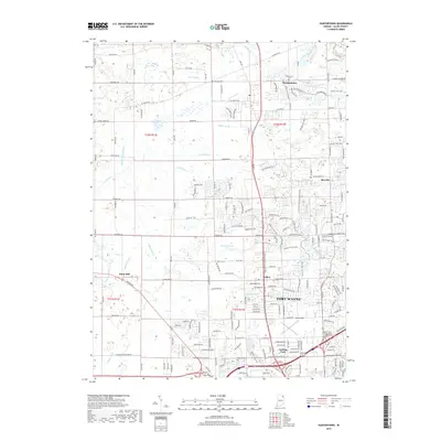
2019 Map of Huntertown
USGS Topo · Published 2019About this map
The settlement of Huntertown serves as the northern anchor for this study of northern Allen County, where the transition from rural agricultural land to the expanding outskirts of Fort Wayne is clearly visible. The landscape is defined by an intricate drainage network of man-made and natural waterways, including Hatch Ditch, Geller Ditch, and the winding Eel River. These systems supported the agricultural development of the region, which is dotted with several historic burial grounds such as Fairview Cem and Bethel Cem.
Find a feature on this map
190 named features on this map. Tap any name to fly to it.
Don’t see what you’re looking for? This feature index may not catch every label — zoom into the map to look around manually.
Map Details
Editions of this 2019 Huntertown Map
This is the sole edition of this map. No revisions or reprints were ever made.
Other maps of this area

1953 · Fort Wayne
USGS Topo · 1:250,000

1955 · Ege
USGS Topo · 1:24,000

1956 · Fort Wayne
USGS Topo · 1:250,000

1956 · Fort Wayne West
USGS Topo · 1:24,000

1956 · Fort Wayne East
USGS Topo · 1:24,000

1956 · Cedarville
USGS Topo · 1:24,000

1957 · Auburn
USGS Topo · 1:24,000

1957 · Huntertown
USGS Topo · 1:24,000

1957 · Garrett
USGS Topo · 1:24,000

1957 · Churubusco
USGS Topo · 1:24,000