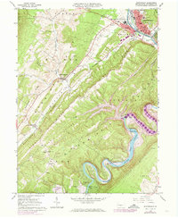
1963 Map of Huntingdon
USGS Topo · Published 1973About this map
The Juniata River and its Raystown Branch dominate this mid-century portrait of Huntingdon County, showing a landscape on the verge of significant change. Purple hatching marks the extensive area designated for submergence by Raystown Lake, indicating where the river valley was being prepared for controlled inundation up to the Raystown Dam spillway. This creates a rare view of the valley floor before the waters rose, preserving the location of family landmarks like the Hawn Cemetery and Ridenour Cemetery, alongside river crossings like Hawn Bridge and Fink Bridge.
Find a feature on this map
56 named features on this map. Tap any name to fly to it.
Don’t see what you’re looking for? This feature index may not catch every label — zoom into the map to look around manually.
Map Details
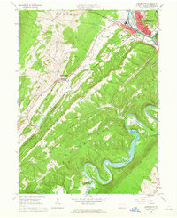
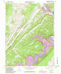
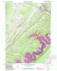
Editions of this 1963 Huntingdon Map
4 editions found
Other maps of this area

1901 · Huntingdon
USGS Topo · 1:62,500

1904 · Huntingdon
USGS Topo · 1:62,500

1919 · Menno
USGS Topo · 1:62,500

1922 · Mt Union
USGS Topo · 1:48,000

1923 · Tyrone
USGS Topo · 1:62,500

1924 · Mt. Union
USGS Topo · 1:62,500

1929 · Tyrone
USGS Topo · 1:48,000

1933 · Tyrone
USGS Topo · 1:62,500

1935 · Allensville
USGS Topo · 1:62,500

1938 · Allensville
USGS Topo · 1:62,500