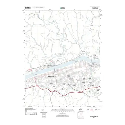
2011 Map of Huntington
USGS Topo · Published 2011About this map
The Ohio River corridor defines this landscape, where the urban grid of Huntington meets the rising hills of West Virginia and the riverbanks of southern Ohio. This 2011 survey documents a modern riverfront economy where traditional landings like Crawfords Landing and Savage Landing sit adjacent to modern infrastructure like the East Huntington Bridge. On the West Virginia side, the map details the expansive grounds of Marshall University and the Marshall University Edwards School of Medicine, while the historical settlement of Guyandotte remains a distinct neighborhood at the confluence of the Guyandotte River.
Find a feature on this map
116 named features on this map. Tap any name to fly to it.
Don’t see what you’re looking for? This feature index may not catch every label — zoom into the map to look around manually.
Map Details
Editions of this 2011 Huntington Map
This is the sole edition of this map. No revisions or reprints were ever made.
Other maps of this area

1892 · Huntington
USGS Topo · 1:125,000

1898 · Huntington
USGS Topo · 1:125,000

1898 · Ironton
USGS Topo · 1:62,500

1900 · Ironton
USGS Topo · 1:62,500

1901 · Guyandot
USGS Topo · 1:62,500

1901 · Ceredo
USGS Topo · 1:62,500

1902 · Guyandot
USGS Topo · 1:62,500

1903 · Kenova
USGS Topo · 1:125,000

1904 · Kenova
USGS Topo · 1:125,000

1906 · Athalia
USGS Topo · 1:62,500