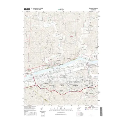
2014 Map of Huntington
USGS Topo · Published 2014About this map
The Ohio River valley serves as the central artery for this region, physically dividing the landscape between Ohio and West Virginia. On the southern banks, Huntington is a dense grid of neighborhoods and institutions, including the campus of Huntington Jr Coll and numerous historic burial grounds such as the Confederate Cem and Spring Hill Cem. The transportation infrastructure is particularly prominent, featuring a series of major crossings like the Robert C Byrd Bridge and the East Huntington Bridge that link the urban center to smaller communities like Chesapeake and Proctorville on the northern shore. North of the river, the terrain shifts into the winding valleys of Symmes Creek and Indian Guyan Creek, where rural settlements such as Getaway and Bartramville sit among the hills of Lawrence County.
Find a feature on this map
279 named features on this map. Tap any name to fly to it.
Don’t see what you’re looking for? This feature index may not catch every label — zoom into the map to look around manually.
Map Details
Editions of this 2014 Huntington Map
This is the sole edition of this map. No revisions or reprints were ever made.
Other maps of this area

1892 · Huntington
USGS Topo · 1:125,000

1898 · Huntington
USGS Topo · 1:125,000

1898 · Ironton
USGS Topo · 1:62,500

1900 · Ironton
USGS Topo · 1:62,500

1901 · Guyandot
USGS Topo · 1:62,500

1901 · Ceredo
USGS Topo · 1:62,500

1902 · Guyandot
USGS Topo · 1:62,500

1903 · Kenova
USGS Topo · 1:125,000

1904 · Kenova
USGS Topo · 1:125,000

1906 · Athalia
USGS Topo · 1:62,500