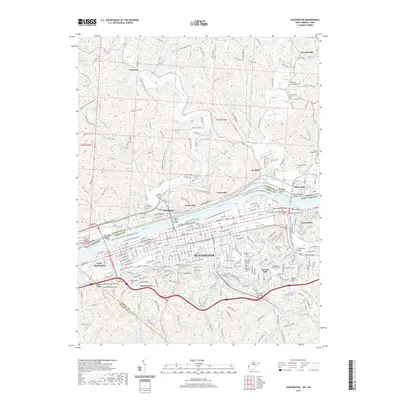
2019 Map of Huntington
USGS Topo · Published 2019About this map
Huntington sits at the nexus of the Ohio River and its southern tributaries, anchoring a complex landscape of industry and memory across the Lawrence and Cabell county line. The urban core is defined by a series of bridges, including the Robert C Byrd Bridge and the 5th Avenue-Thru Truss Bridge, which link the West Virginia city to Ohio riverside settlements like Chesapeake and Proctorville. Inland from the river, the terrain transitions into a dense network of suburban and rural developments such as Beverly Hills and Harveytown. This map reveals a high concentration of burial grounds, including the Confederate Cem and Guyandotte Cem, reflecting the deep social history of the Tri-State area. Modern recreation is represented by the Huntington Floodwall Trail and Ritter Park, while rural enclaves like Getaway and Bartramville occupy the hills to the north.
Find a feature on this map
70 named features on this map. Tap any name to fly to it.
Don’t see what you’re looking for? This feature index may not catch every label — zoom into the map to look around manually.
Map Details
Editions of this 2019 Huntington Map
This is the sole edition of this map. No revisions or reprints were ever made.
Other maps of this area

1892 · Huntington
USGS Topo · 1:125,000

1898 · Huntington
USGS Topo · 1:125,000

1898 · Ironton
USGS Topo · 1:62,500

1900 · Ironton
USGS Topo · 1:62,500

1901 · Guyandot
USGS Topo · 1:62,500

1901 · Ceredo
USGS Topo · 1:62,500

1902 · Guyandot
USGS Topo · 1:62,500

1903 · Kenova
USGS Topo · 1:125,000

1904 · Kenova
USGS Topo · 1:125,000

1906 · Athalia
USGS Topo · 1:62,500