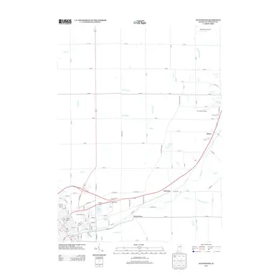
2013 Map of Huntington
USGS Topo · Published 2013About this map
The Little River corridor northeast of Huntington defines this early 21st-century landscape, where a dense network of agricultural ditches and small creeks supports the fertile plains of Huntington County. Small settlements such as Mardenis, Mahon, and Bowerstown appear along the primary transportation routes, reflecting the region's enduring rural character and the persistence of these community names over generations. Local aviation is represented by private strips like the Kilsoquah Farm Airport and The Wolf Den Airport, while leisure and resource management are evident in several named water bodies including Timber Lake, Clair Lake, and Big Blue Lake. The intricate system of waterways, including the McPherren Ditch and Smith Limer Ditch, illustrates the complex drainage history required to maintain the productivity of the surrounding farmland in North Central Indiana.
Find a feature on this map
111 named features on this map. Tap any name to fly to it.
Don’t see what you’re looking for? This feature index may not catch every label — zoom into the map to look around manually.
Map Details
Editions of this 2013 Huntington Map
This is the sole edition of this map. No revisions or reprints were ever made.
Other maps of this area

1950 · Andrews
USGS Topo · 1:24,000

1951 · Andrews
USGS Topo · 1:24,000

1952 · Majenica
USGS Topo · 1:24,000

1953 · Fort Wayne
USGS Topo · 1:250,000

1953 · Muncie
USGS Topo · 1:250,000

1955 · Markle
USGS Topo · 1:24,000

1955 · Bippus
USGS Topo · 1:24,000

1956 · Muncie
USGS Topo · 1:250,000

1956 · Fort Wayne
USGS Topo · 1:250,000

1956 · Huntington
USGS Topo · 1:24,000