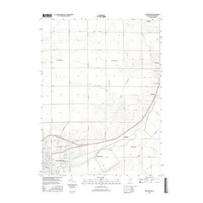
2016 Map of Huntington
USGS Topo · Published 2016About this map
Huntington stands as the primary hub of this northern Indiana landscape, where the Little River meanders through the southern portion of the quadrangle. The map details the transition from the city's denser street grid to the surrounding rural townships, defined by a rectilinear road network such as W 1100 N and N Mishler Rd. To the northeast, the village of Roanoke and the settlement of Mahon appear along the regional transport corridors.
Find a feature on this map
76 named features on this map. Tap any name to fly to it.
Don’t see what you’re looking for? This feature index may not catch every label — zoom into the map to look around manually.
Map Details
Editions of this 2016 Huntington Map
This is the sole edition of this map. No revisions or reprints were ever made.
Other maps of this area

1950 · Andrews
USGS Topo · 1:24,000

1951 · Andrews
USGS Topo · 1:24,000

1952 · Majenica
USGS Topo · 1:24,000

1953 · Fort Wayne
USGS Topo · 1:250,000

1953 · Muncie
USGS Topo · 1:250,000

1955 · Markle
USGS Topo · 1:24,000

1955 · Bippus
USGS Topo · 1:24,000

1956 · Muncie
USGS Topo · 1:250,000

1956 · Fort Wayne
USGS Topo · 1:250,000

1956 · Huntington
USGS Topo · 1:24,000