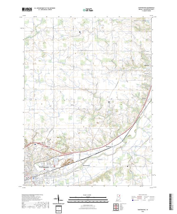
2022 Map of Huntington
USGS Topo · Published 2022About this map
Huntington serves as the regional anchor on this 2022 survey, its urban core defined by the Huntington County Courthouse and the campus of Huntington University. The landscape is etched by the course of the Little River and a dense network of drainage canals including Smith Limer Ditch, N Beck Ditch, and Fahl Ditch, which converted the natural wetlands into productive Wabash Valley farmland.
Find a feature on this map
100 named features on this map. Tap any name to fly to it.
Don’t see what you’re looking for? This feature index may not catch every label — zoom into the map to look around manually.
Map Details
Editions of this 2022 Huntington Map
This is the sole edition of this map. No revisions or reprints were ever made.
Other maps of this area

1950 · Andrews
USGS Topo · 1:24,000

1951 · Andrews
USGS Topo · 1:24,000

1952 · Majenica
USGS Topo · 1:24,000

1953 · Fort Wayne
USGS Topo · 1:250,000

1953 · Muncie
USGS Topo · 1:250,000

1955 · Markle
USGS Topo · 1:24,000

1955 · Bippus
USGS Topo · 1:24,000

1956 · Muncie
USGS Topo · 1:250,000

1956 · Fort Wayne
USGS Topo · 1:250,000

1956 · Huntington
USGS Topo · 1:24,000