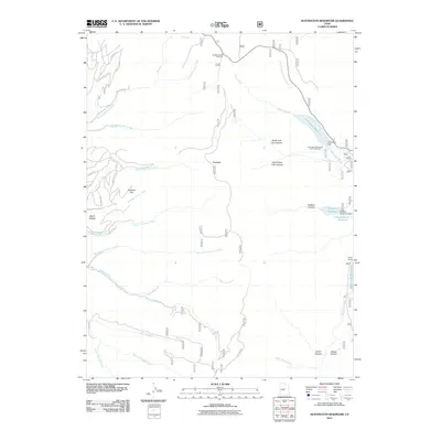
2011 Map of Huntington Reservoir
USGS Topo · Published 2011About this map
Huntington Reservoir and the surrounding high-elevation drainage systems of the Sanpete and Emery county border regions dominate this 2011 survey. The landscape is defined by its complex network of seasonal and perennial forks, including the Left Fork Huntington Creek and Miller Flat Creek, which feed into vital water storage points such as Miller Flat Reservoir and Rolfson Reservoir. These water bodies, managed via infrastructure like Huntington Dam and the Rolfson Reservoir Dam, highlight the region's historical reliance on controlled irrigation and water management for mountain ranching and valley agriculture.
Find a feature on this map
44 named features on this map. Tap any name to fly to it.
Don’t see what you’re looking for? This feature index may not catch every label — zoom into the map to look around manually.
Map Details
Editions of this 2011 Huntington Reservoir Map
This is the sole edition of this map. No revisions or reprints were ever made.
Other maps of this area

1885 · Manti
USGS Topo · 1:250,000

1895 · Manti
USGS Topo · 1:250,000

1923 · Scofield
USGS Topo · 1:62,500

1923 · Hiawatha
USGS Topo · 1:62,500

1925 · Scofield
USGS Topo · 1:62,500

1925 · Hiawatha
USGS Topo · 1:62,500

1956 · Price
USGS Topo · 1:250,000

1960 · Price
USGS Topo · 1:250,000

1962 · Price
USGS Topo · 1:250,000

1965 · Huntington Reservoir
USGS Topo · 1:24,000