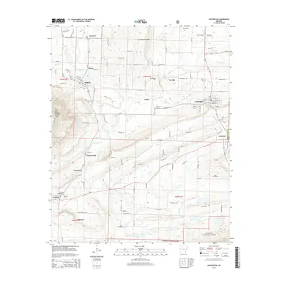
2014 Map of Huntington
USGS Topo · Published 2014About this map
Huntington and Mansfield anchor this 2014 survey of the Sebastian County landscape, where small mining and rail settlements are threaded through the valleys of the Sugar Loaf Mountains. The topography is dominated by the prominent Devils Backbone Ridge to the north and the rising elevations of the Ouachita National Forest along the southern border. This map captures the intricate human geography of the region, from the cluster of homes at Frog Town and Arkola to the numerous burial grounds like Buggy Hill Cem and James Fork Cem. Significant watercourses, including James Fork and Prairie Creek, carve through the terrain, illustrating the natural drainage patterns that shaped the placement of early homesteads and road networks like the Montreal Cutoff.
Find a feature on this map
103 named features on this map. Tap any name to fly to it.
Don’t see what you’re looking for? This feature index may not catch every label — zoom into the map to look around manually.
Map Details
Editions of this 2014 Huntington Map
This is the sole edition of this map. No revisions or reprints were ever made.
Other maps of this area

1879 · Poteau Mountain
USGS Topo · 1:62,500

1887 · Poteau Mountain #1
USGS Topo · 1:62,500

1887 · Poteau Mountain #2
USGS Topo · 1:62,500

1887 · Greenwood
USGS Topo · 1:62,500

1890 · Fort Smith
USGS Topo · 1:125,000

1890 · Poteau Mountain
USGS Topo · 1:125,000

1899 · Poteau Mountain
USGS Topo · 1:125,000

1906 · Barber
USGS Topo · 1:62,500

1939 · Waldron
USGS Topo · 1:62,500

1940 · Waldron
USGS Topo · 1:62,500