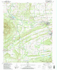
1987 Map of Huntington
USGS Topo · Published 1988About this map
The James Fork of the Poteau River winds through a landscape defined by its industrial and topographic boundaries in the late 1980s. Coal mining heritage is evident throughout the terrain, with numerous Strip Mines and an extensive network of an Old RR Grade and Railroad Grade connecting older settlements like Montreal and Midland. To the south, the terrain rises into the Ouachita National Forest and the Poteau Mountain Wilderness, marking a sharp transition from the active resource extraction zones near Arkola to protected wilderness.
Find a feature on this map
58 named features on this map. Tap any name to fly to it.
Don’t see what you’re looking for? This feature index may not catch every label — zoom into the map to look around manually.
Map Details
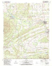
Editions of this 1987 Huntington Map
2 editions found
Other maps of this area

1879 · Poteau Mountain
USGS Topo · 1:62,500

1887 · Poteau Mountain #1
USGS Topo · 1:62,500

1887 · Poteau Mountain #2
USGS Topo · 1:62,500

1887 · Greenwood
USGS Topo · 1:62,500

1890 · Fort Smith
USGS Topo · 1:125,000

1890 · Poteau Mountain
USGS Topo · 1:125,000

1899 · Poteau Mountain
USGS Topo · 1:125,000

1906 · Barber
USGS Topo · 1:62,500

1939 · Waldron
USGS Topo · 1:62,500

1940 · Waldron
USGS Topo · 1:62,500