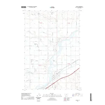
2020 Map of Huntley
USGS Topo · Published 2020About this map
The Yellowstone River cuts a wide path through this portion of Yellowstone County, shaping the development of the riverfront communities of Huntley and Shepherd. The landscape is defined by the vital irrigation infrastructure of the Huntley Main Canal, which parallels the river and the Railroad Hwy corridor, illustrating the area's agricultural and transportation history. Local landmarks such as Spraklin Island and the elevated Deer Point overlook the river valley, while numerous creeks including Razor Cr and Pryor Cr drain the surrounding terrain.
Find a feature on this map
94 named features on this map. Tap any name to fly to it.
Don’t see what you’re looking for? This feature index may not catch every label — zoom into the map to look around manually.
Map Details
Editions of this 2020 Huntley Map
This is the sole edition of this map. No revisions or reprints were ever made.
Other maps of this area

1893 · Huntley
USGS Topo · 1:125,000

1954 · Billings
USGS Topo · 1:250,000

1954 · Roundup
USGS Topo · 1:250,000

1956 · Rattlesnake Butte
USGS Topo · 1:24,000

1956 · Huntley
USGS Topo · 1:24,000

1956 · Billings East
USGS Topo · 1:24,000

1957 · Billings
USGS Topo · 1:250,000

1958 · Billings
USGS Topo · 1:250,000

1958 · Roundup
USGS Topo · 1:250,000

1967 · Worden
USGS Topo · 1:24,000