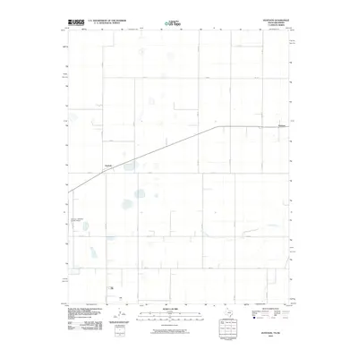
2010 Map of Huntoon
USGS Topo · Published 2010About this map
Twichell and Huntoon anchor this high plains landscape in the northeastern corner of the Texas Panhandle. Situated just south of the Oklahoma border, the area is defined by a rigid grid of section roads and the meandering path of Kiowa Creek. The landscape transition is evident where the structured agricultural layout of routes like Co RD H and Co RD 25 meets the drainage of the creek, which carves a natural break through the geometric farm blocks. To the west, the Perryton - Ochiltree County Airport serves the regional county seat, reflecting the modern infrastructure required in this corner of Ochiltree County. The map captures the specialized transportation network of the region, from state-maintained routes like FM 377 to the local county road system that facilitates the area's vital agricultural and energy-sector activities.
Find a feature on this map
18 named features on this map. Tap any name to fly to it.
Don’t see what you’re looking for? This feature index may not catch every label — zoom into the map to look around manually.
Map Details
Editions of this 2010 Huntoon Map
This is the sole edition of this map. No revisions or reprints were ever made.
Other maps of this area

1954 · Perryton
USGS Topo · 1:250,000

1958 · Perryton
USGS Topo · 1:250,000

1972 · Booker SE
USGS Topo · 1:24,000

1973 · Booker
USGS Topo · 1:24,000

1973 · Booker SW
USGS Topo · 1:24,000

1973 · Perryton SE
USGS Topo · 1:24,000

1973 · Perryton
USGS Topo · 1:24,000

1973 · Elmwood
USGS Topo · 1:24,000

1973 · Bryans Corner
USGS Topo · 1:24,000

1973 · Balko SW
USGS Topo · 1:24,000