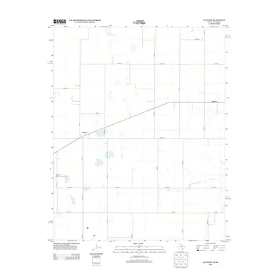
2012 Map of Huntoon
USGS Topo · Published 2012About this map
Huntoon and Twichell anchor this high plains landscape in Ochiltree County, situated along the northern edge of the Texas Panhandle near the Oklahoma border. The area is characterized by a precise grid of rural routes, including Co Road H and Co Road F, which facilitate movement across the agricultural expanse. The Perryton Ochiltree County Airport serves as a modern aviation hub for the surrounding ranching and farming communities, while the course of Kiowa Cr provides a break in the geometric road network as it winds through the eastern portion of the quadrangle. Transportation is further supported by Fm-377, a vital connection for local commerce. This survey captures a moment in the 21st century where traditional prairie land use and essential regional infrastructure coexist.
Find a feature on this map
18 named features on this map. Tap any name to fly to it.
Don’t see what you’re looking for? This feature index may not catch every label — zoom into the map to look around manually.
Map Details
Editions of this 2012 Huntoon Map
This is the sole edition of this map. No revisions or reprints were ever made.
Other maps of this area

1954 · Perryton
USGS Topo · 1:250,000

1958 · Perryton
USGS Topo · 1:250,000

1972 · Booker SE
USGS Topo · 1:24,000

1973 · Booker
USGS Topo · 1:24,000

1973 · Booker SW
USGS Topo · 1:24,000

1973 · Perryton SE
USGS Topo · 1:24,000

1973 · Perryton
USGS Topo · 1:24,000

1973 · Elmwood
USGS Topo · 1:24,000

1973 · Bryans Corner
USGS Topo · 1:24,000

1973 · Balko SW
USGS Topo · 1:24,000