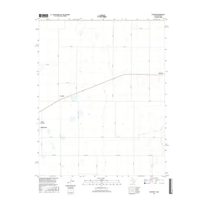
2016 Map of Huntoon
USGS Topo · Published 2016About this map
Perryton anchors the southwestern corner of this Panhandle landscape, where the town's edge meets the industrial and agricultural corridors of Ochiltree County. The terrain is characterized by the broad, intermittent drainage of Kiowa Cr, which winds through a geometric grid of county roads and ranch lands. Transportation and utility are central to the area's layout, evidenced by the Perryton Ochiltree County Airport and the rail-aligned settlements of Twichell and Huntoon that follow the diagonal transit route across the northern half of the quadrangle.
Find a feature on this map
19 named features on this map. Tap any name to fly to it.
Don’t see what you’re looking for? This feature index may not catch every label — zoom into the map to look around manually.
Map Details
Editions of this 2016 Huntoon Map
This is the sole edition of this map. No revisions or reprints were ever made.
Other maps of this area

1954 · Perryton
USGS Topo · 1:250,000

1958 · Perryton
USGS Topo · 1:250,000

1972 · Booker SE
USGS Topo · 1:24,000

1973 · Booker
USGS Topo · 1:24,000

1973 · Booker SW
USGS Topo · 1:24,000

1973 · Perryton SE
USGS Topo · 1:24,000

1973 · Perryton
USGS Topo · 1:24,000

1973 · Elmwood
USGS Topo · 1:24,000

1973 · Bryans Corner
USGS Topo · 1:24,000

1973 · Balko SW
USGS Topo · 1:24,000