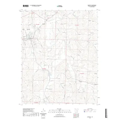
2020 Map of Huntsville
USGS Topo · Published 2020About this map
The Madison County Courthouse serves as the focal point for Huntsville, anchoring a landscape where the Ozark foothills meet the winding path of War Eagle Creek. This contemporary survey illustrates the town's expansion and its relationship with the surrounding terrain, including elevations like Carlock Mtn and Big Sandy Mtn. Outside the main settlement, the area maintains its rural character through small communities such as Harmony and Wharton, connected by a network of Madison County roads.
Find a feature on this map
111 named features on this map. Tap any name to fly to it.
Don’t see what you’re looking for? This feature index may not catch every label — zoom into the map to look around manually.
Map Details
Editions of this 2020 Huntsville Map
This is the sole edition of this map. No revisions or reprints were ever made.
Other maps of this area

1900 · Eureka Springs
USGS Topo · 1:125,000

1901 · Eureka Springs
USGS Topo · 1:125,000

1943 · St. Paul
USGS Topo · 1:62,500

1945 · Harrison
USGS Topo · 1:250,000

1946 · St. Paul
USGS Topo · 1:62,500

1949 · Harrison
USGS Topo · 1:250,000

1954 · Harrison
USGS Topo · 1:250,000

1956 · Russellville
USGS Topo · 1:250,000

1958 · Hindsville
USGS Topo · 1:24,000

1958 · Harrison
USGS Topo · 1:250,000