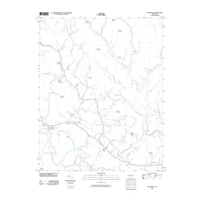
2010 Map of Huntsville
USGS Topo · Published 2010About this map
Huntsville serves as a central hub on this Scott County map, situated where the terrain transitions toward the New River and Buffalo Creek. The landscape is defined by its deep connectivity, with numerous family-named landmarks such as Litton Hill, Shug Mountain, and Ditney Mountain marking the high ground. The survey reveals a high density of rural cemeteries, including Griffin and Punkin Hollow, which point to a long-established community structure. Transportation is facilitated by local routes like Baker Hwy and Jeffers Rd, while the presence of the Winona Post Office south of the main settlement indicates a distributed network of early 21st-century rural services. Researchers can trace intricate watercourses from Paint Rock Creek to the smaller Slick Rock Branch, offering a detailed look at the drainage patterns that shaped local development.
Find a feature on this map
78 named features on this map. Tap any name to fly to it.
Don’t see what you’re looking for? This feature index may not catch every label — zoom into the map to look around manually.
Map Details
Editions of this 2010 Huntsville Map
This is the sole edition of this map. No revisions or reprints were ever made.
Other maps of this area

1890 · Williamsburg
USGS Topo · 1:125,000

1893 · Briceville
USGS Topo · 1:125,000

1894 · Williamsburg
USGS Topo · 1:125,000

1895 · Wartburg
USGS Topo · 1:125,000

1895 · Briceville
USGS Topo · 1:125,000

1896 · Wartburg
USGS Topo · 1:125,000

1896 · Briceville
USGS Topo · 1:125,000

1934 · Barthell
USGS Topo · 1:62,500

1936 · Block
USGS Topo · 1:24,000

1936 · Pioneer
USGS Topo · 1:24,000