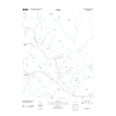
2013 Map of Huntsville
USGS Topo · Published 2013About this map
The New River winds through the heart of this Scott County landscape, shaping the development of Huntsville and surrounding highland settlements. This 2013 topographic study reveals a complex network of ridge-top roads and hollows, where family history is etched into the terrain through names like John Hall Flats, Louis Jeffers Hollow, and Baird Hollow Rd. The proximity of Stanley Junction and Newtown indicates a historical reliance on the corridors formed by Paint Rock Cr and Little Cr.
Find a feature on this map
112 named features on this map. Tap any name to fly to it.
Don’t see what you’re looking for? This feature index may not catch every label — zoom into the map to look around manually.
Map Details
Editions of this 2013 Huntsville Map
This is the sole edition of this map. No revisions or reprints were ever made.
Other maps of this area

1890 · Williamsburg
USGS Topo · 1:125,000

1893 · Briceville
USGS Topo · 1:125,000

1894 · Williamsburg
USGS Topo · 1:125,000

1895 · Wartburg
USGS Topo · 1:125,000

1895 · Briceville
USGS Topo · 1:125,000

1896 · Wartburg
USGS Topo · 1:125,000

1896 · Briceville
USGS Topo · 1:125,000

1934 · Barthell
USGS Topo · 1:62,500

1936 · Block
USGS Topo · 1:24,000

1936 · Pioneer
USGS Topo · 1:24,000