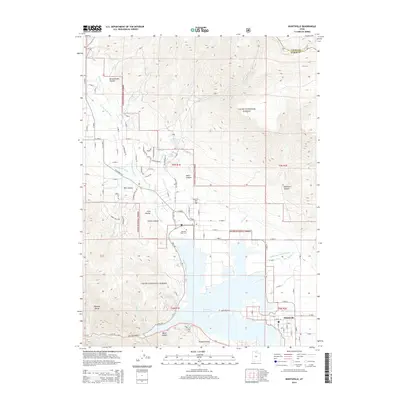
2014 Map of Huntsville
USGS Topo · Published 2014About this map
Huntsville and its surrounding mountain valleys are meticulously documented in this 2014 survey, highlighting the confluence of the Ogden River and its various forks as they feed into the Pineview Reservoir. The landscape is defined by the sharp transition between the residential grids of the town and the protected wilderness of the Cache National Forest. In the foothills of the Wasatch Range, smaller developments like Nordic Valley are visible, while rural history is preserved through sites such as the Mountain View Cem and Huntsville Cem. The map illustrates a complex drainage network including the N Fork Ogden River and Middle Fork Ogden River, carving through canyons like Broadmouth Canyon and Pole Canyon. This modern edition provides researchers a clear view of how high-elevation terrain and water management shape the contemporary layout of this Ogden Valley community.
Find a feature on this map
93 named features on this map. Tap any name to fly to it.
Don’t see what you’re looking for? This feature index may not catch every label — zoom into the map to look around manually.
Map Details
Editions of this 2014 Huntsville Map
This is the sole edition of this map. No revisions or reprints were ever made.
Other maps of this area

1954 · Ogden
USGS Topo · 1:250,000

1955 · Ogden
USGS Topo · 1:24,000

1955 · Mantua
USGS Topo · 1:24,000

1955 · Huntsville
USGS Topo · 1:24,000

1955 · James Peak
USGS Topo · 1:24,000

1955 · North Ogden
USGS Topo · 1:24,000

1955 · Snow Basin
USGS Topo · 1:24,000

1958 · Ogden
USGS Topo · 1:250,000

1960 · Ogden
USGS Topo · 1:250,000

1961 · Morgan
USGS Topo · 1:62,500