
1955 Map of Mantua
USGS Topo · Published 1956About this map
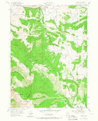
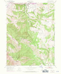
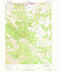
Mantua sits at the northern edge of this mid-1950s survey, surrounded by the high peaks of the Wellsville Mts and the Cache National Forest. The map documents a landscape where small-scale settlement meets organized recreation and resource extraction, evidenced by the presence of the Bee Mia Girls Home, Camp Utaba, and Camp Lomond. Significant mining activity is recorded throughout the canyons, with the Holton Mine, American Mine, and Alvarado Mine scattered across the steep terrain. Water management is a defining characteristic of the area, seen in the network of creeks like Box Elder Creek and Elder Creek that feed into local irrigation and storage points such as the Perry Reservoir. The transition from Box Elder County into Cache and Weber counties is clearly marked across these ridges, tracing the high divides that separate the Devils Gate Valley from the surrounding canyons.
Find a feature on this map
59 named features on this map. Tap any name to fly to it.
Don’t see what you’re looking for? This feature index may not catch every label — zoom into the map to look around manually.
Map Details
Editions of this 1955 Mantua Map
4 editions found
Other maps of this area

1914 · Logan
USGS Topo · 1:125,000

1916 · Logan
USGS Topo · 1:125,000

1954 · Ogden
USGS Topo · 1:250,000

1954 · Brigham City
USGS Topo · 1:250,000

1955 · Plain City
USGS Topo · 1:24,000

1955 · Paradise
USGS Topo · 1:24,000

1955 · Huntsville
USGS Topo · 1:24,000

1955 · James Peak
USGS Topo · 1:24,000

1955 · Willard
USGS Topo · 1:24,000

1955 · North Ogden
USGS Topo · 1:24,000