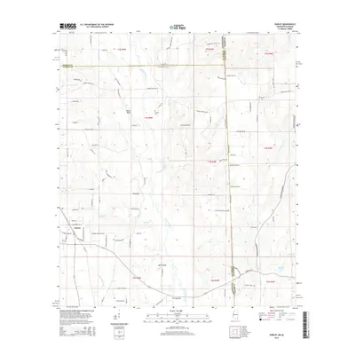
2015 Map of Hurley
USGS Topo · Published 2015About this map
The Escatawpa River defines the landscape of this region, winding southward through the borderlands of eastern Mississippi and western Alabama. In the southwest corner, the settlement of Hurley serves as a primary hub, while a series of distinct riverside locations including Yellow Bluff, Red Bluff, and White Bluff follow the river's course. These bluffs suggest significant elevation changes along the riverbank in an otherwise low-lying drainage basin.
Find a feature on this map
94 named features on this map. Tap any name to fly to it.
Don’t see what you’re looking for? This feature index may not catch every label — zoom into the map to look around manually.
Map Details
Editions of this 2015 Hurley Map
This is the sole edition of this map. No revisions or reprints were ever made.
Other maps of this area

1941 · Hurley
USGS Topo · 1:62,500

1941 · Vancleave
USGS Topo · 1:62,500

1941 · Lucedale
USGS Topo · 1:62,500

1942 · Wilmer
USGS Topo · 1:62,500

1943 · Lucedale
USGS Topo · 1:62,500

1943 · Hurley
USGS Topo · 1:62,500

1943 · Vancleave
USGS Topo · 1:62,500

1944 · Wilmer
USGS Topo · 1:62,500

1944 · Vancleave
USGS Topo · 1:62,500

1953 · Mobile
USGS Topo · 1:250,000