1957 Map of Huron
USGS Topo · Published 1977About this map
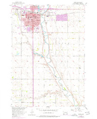
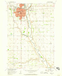
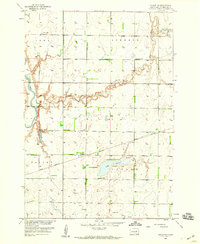
Huron serves as the focal point of this mid-century survey, showcasing a dense network of civic and educational institutions such as Huron College, City Hall, and numerous neighborhood schools like McKinley Sch and Washington Sch. The city’s development is framed by the C & NW and Chicago and North Western railroads, which facilitated its growth as a regional hub. To the north, the State Fairground occupies a significant portion of the landscape, while the James River meanders southward past Morningside and the Riverside Cemetery.
Find a feature on this map
49 named features on this map. Tap any name to fly to it.
Don’t see what you’re looking for? This feature index may not catch every label — zoom into the map to look around manually.
Map Details
Editions of this 1957 Huron Map
2 editions found
Other maps of this area

1898 · Huron
USGS Topo · 1:125,000

1953 · Huron
USGS Topo · 1:250,000

1954 · Huron
USGS Topo · 1:250,000
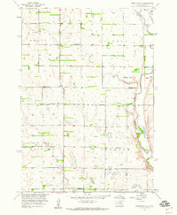
1957 · Forestburg NE
USGS Topo · 1:24,000
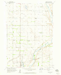
1957 · Cavour
USGS Topo · 1:24,000
1957 · Huron
USGS Topo · 1:24,000
1958 · Forestburg NW
USGS Topo · 1:24,000
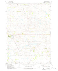
1958 · Huron NW
USGS Topo · 1:24,000
1958 · Huron NE
USGS Topo · 1:24,000
1973 · Alpena
USGS Topo · 1:24,000