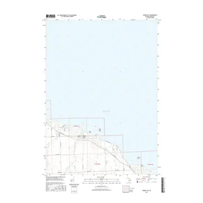
2017 Map of Huron City
USGS Topo · Published 2017About this map
Huron City sits along the northern edge of the Michigan Thumb, where the waters of Lake Huron meet a coastline marked by distinctive landforms like Orion Rock and Bald Eagle Point. The settlement pattern here is closely tied to the lakefront, with Lakeshore Rd following the contour of the bank. The interior is defined by agricultural lands and small waterways, including Willow Creek and the New River. For genealogists and local historians, the presence of the Hubbard Memorial Cem and New River Cem provides a clear link to the area's early residents. Further down the coast to the southeast, Oscube Point marks a prominent bend in the shoreline, illustrating the transition from the protected waters near the city to the more exposed reaches of the lake.
Find a feature on this map
30 named features on this map. Tap any name to fly to it.
Don’t see what you’re looking for? This feature index may not catch every label — zoom into the map to look around manually.
Map Details
Editions of this 2017 Huron City Map
This is the sole edition of this map. No revisions or reprints were ever made.
Other maps of this area

1954 · Flint
USGS Topo · 1:250,000

1954 · Tawas City
USGS Topo · 1:250,000

1958 · Flint
USGS Topo · 1:250,000

1958 · Tawas City
USGS Topo · 1:250,000

1970 · Port Hope
USGS Topo · 1:24,000

1970 · Port Austin East
USGS Topo · 1:24,000

1970 · Kinde East
USGS Topo · 1:24,000

1970 · Redman
USGS Topo · 1:24,000

1970 · Huron City
USGS Topo · 1:24,000

1984 · Harbor Beach
USGS Topo · 1:100,000