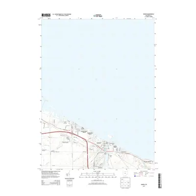
2013 Map of Huron
USGS Topo · Published 2013About this map
The Huron River meets the expansive shoreline of Lake Erie at Huron, serving as a central hub for maritime and agricultural activity in this 2013 survey. The landscape is defined by its transition from industrial watercraft infrastructure at the Turning Basin and Harbor Marina Park to the established residential neighborhoods of Rye Beach and Grand Forest Beach. Educational and recreational land use is prominent, anchored by the Bowling Green State University-Firelands campus and several large courses including the Sawmill Creek Golf Course.
Find a feature on this map
59 named features on this map. Tap any name to fly to it.
Don’t see what you’re looking for? This feature index may not catch every label — zoom into the map to look around manually.
Map Details
Editions of this 2013 Huron Map
This is the sole edition of this map. No revisions or reprints were ever made.
Other maps of this area

1903 · Vermilion
USGS Topo · 1:62,500

1904 · Sandusky
USGS Topo · 1:62,500

1916 · Kelleys Island
USGS Topo · 1:62,500

1919 · Kelleys Island
USGS Topo · 1:62,500

1956 · Toledo
USGS Topo · 1:250,000

1959 · Kimball
USGS Topo · 1:24,000

1959 · Milan
USGS Topo · 1:24,000

1959 · Sandusky
USGS Topo · 1:24,000

1959 · Berlin Heights
USGS Topo · 1:24,000

1959 · Vermilion West
USGS Topo · 1:24,000