
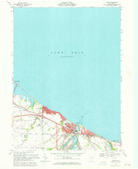
1969 Map of Huron
USGS Topo · Published 1979About this map
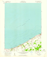
Lake Erie defines the northern reaches of this coastal Erie County landscape, where the mouth of the Huron River serves as a focal point for the city of Huron. The 1969 survey captures a period of transition and industrial utility, showing the heavy rail presence of the Conrail and Norfolk and Western lines intersecting the shoreline. Education and aviation are represented by the Bowling Green State University Fireland Campus and the Huron Airport, reflecting mid-century growth.
Find a feature on this map
36 named features on this map. Tap any name to fly to it.
Don’t see what you’re looking for? This feature index may not catch every label — zoom into the map to look around manually.
Map Details
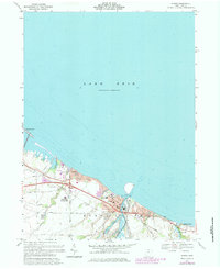
Editions of this 1969 Huron Map
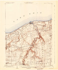
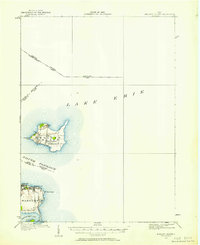
Other maps of this area
1903 · Vermilion
USGS Topo · 1:62,500

1904 · Sandusky
USGS Topo · 1:62,500
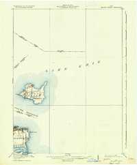
1916 · Kelleys Island
USGS Topo · 1:62,500
1919 · Kelleys Island
USGS Topo · 1:62,500

1956 · Toledo
USGS Topo · 1:250,000
1959 · Kimball
USGS Topo · 1:24,000
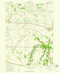
1959 · Milan
USGS Topo · 1:24,000

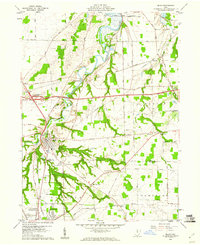
1959 · Sandusky
USGS Topo · 1:24,000
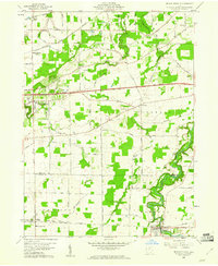
1959 · Berlin Heights
USGS Topo · 1:24,000
1959 · Vermilion West
USGS Topo · 1:24,000