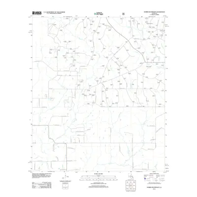
2012 Map of Hurricane Branch
USGS Topo · Published 2012About this map
Bundick Cr and its many tributaries, including Allen Br and Hurricane Br, carve a complex drainage pattern across this Vernon Parish landscape. The interior is defined by a dense network of local roads and loops, such as Bill Churchman Loop and Ida Bailey Rd, which serve a dispersed rural population. The Johnson Cem stands as a central genealogical landmark, while the northeastern corner of the sheet features the protected Longleaf Scenic Area. The hydrology is particularly intricate here, with the east and west branches of Black Cr converging in the south, while Clear Br and Drakes Cr drain the eastern elevations. This survey provides a clear view of the timber and creek-bottom lands just prior to the mid-2010s, showing the intersection of local family-named roads and the natural bayou-fed geography.
Find a feature on this map
71 named features on this map. Tap any name to fly to it.
Don’t see what you’re looking for? This feature index may not catch every label — zoom into the map to look around manually.
Map Details
Editions of this 2012 Hurricane Branch Map
This is the sole edition of this map. No revisions or reprints were ever made.
Other maps of this area

1941 · Leesville
USGS Topo · 1:62,500

1941 · Slagle
USGS Topo · 1:62,500

1943 · Leesville
USGS Topo · 1:62,500

1944 · Slagle
USGS Topo · 1:62,500

1946 · Leesville
USGS Topo · 1:62,500

1947 · DeRidder
USGS Topo · 1:31,680

1947 · Rosepine
USGS Topo · 1:31,680

1947 · Ikes
USGS Topo · 1:31,680

1947 · Chasmore
USGS Topo · 1:31,680

1947 · Sugartown
USGS Topo · 1:31,680