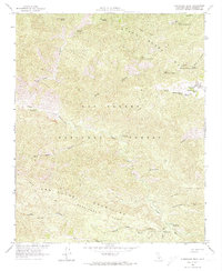
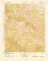
1964 Map of Hurricane Deck
USGS Topo · Published 1974About this map
The Hurricane Deck formation and the high peaks of the San Rafael Mountains define this mid-century survey of the California backcountry. Located within the Los Padres National Forest, the landscape is marked by a complex network of springs and canyons, including Montgomery Potrero and the headwaters of the Sisquoc River. Human presence is traced through isolated outposts like the South Fork Guard Station and a series of primitive camps such as Painted Rock Campground and the colorfully named Happy Hunting Ground Campground. The map details a transition from the Sierra Madre Mountains in the north to the sharp ridges of the south, linked by the Sierra Madre Road and historical paths like the Jackson Trail and Rack Trail. Local history is preserved in named landmarks such as Connie Davis Campground and Foresters Leap, reflecting the era's focus on forest management and remote recreation.
Find a feature on this map
44 named features on this map. Tap any name to fly to it.
Don’t see what you’re looking for? This feature index may not catch every label — zoom into the map to look around manually.
Map Details
Editions of this 1964 Hurricane Deck Map
4 editions found
Other maps of this area

1902 · Santa Ynez
USGS Topo · 1:125,000

1905 · Santa Ynez
USGS Topo · 1:125,000

1941 · San Rafael Mtn.
USGS Topo · 1:62,500

1941 · McPherson Peak
USGS Topo · 1:62,500

1942 · San Rafael Mtn.
USGS Topo · 1:62,500

1943 · Big Pine Mountain
USGS Topo · 1:31,680

1943 · San Rafael Mtn.
USGS Topo · 1:62,500

1943 · McPherson Peak
USGS Topo · 1:62,500

1943 · Cuyama Ranch
USGS Topo · 1:31,680
1944 · Salisbury Potrero
USGS Topo · 1:31,680