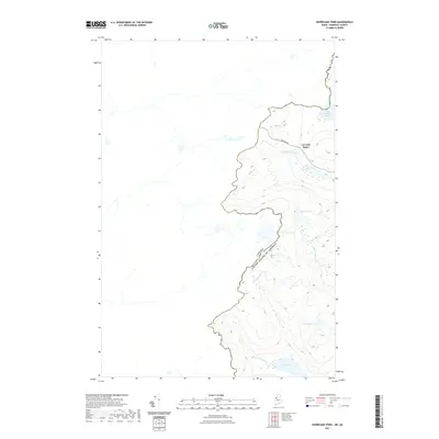
2021 Map of Hurricane Pond
USGS Topo · Published 2021About this map
Canada United States Of America international boundaries define this borderlands terrain in Somerset County, where the remote timberlands of Maine meet Quebec. The landscape is characterized by a series of high-elevation water bodies and drainage systems, most notably Little Saint John Lake and the headwaters of Hurricane Brook. Remote operations are anchored by La Croix Depot, a significant point of interest for those studying the regional logging history and the infrastructure required to manage these isolated northern forests.
Find a feature on this map
12 named features on this map. Tap any name to fly to it.
Don’t see what you’re looking for? This feature index may not catch every label — zoom into the map to look around manually.
Map Details
Editions of this 2021 Hurricane Pond Map
This is the sole edition of this map. No revisions or reprints were ever made.
Other maps of this area

1927 · Sandy Bay
USGS Topo · 1:48,000

1930 · Sandy Bay
USGS Topo · 1:62,500

1944 · Sandy Bay
USGS Topo · 1:62,500

1949 · Jackman
USGS Topo · 1:250,000

1956 · Penobscot Lake
USGS Topo · 1:62,500

1957 · Norris Brook
USGS Topo · 1:62,500

1957 · Saint Zacharie
USGS Topo · 1:62,500

1962 · Quebec
USGS Topo · 1:250,000

1963 · Jackman
USGS Topo · 1:250,000

1966 · Sherbrooke
USGS Topo · 1:250,000