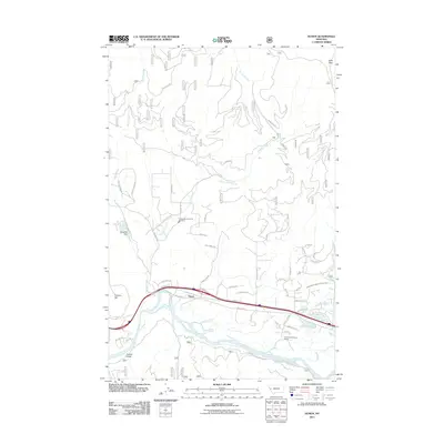
2011 Map of Huson
USGS Topo · Published 2011About this map
Huson sits as the primary settlement within a valley defined by the broad curves of the Clark Fork and a dense network of tributary drainages. The landscape transitions from the riparian flats of the river to the high elevations of Edith Peak in the north and Cayuse Hill to the west. This area reflects a modern rural character, where essential community services like the Frenchtown Rural Fire Dist Sta 3 support a network of residential roads such as Brass Ln and Morgan Ln.
Find a feature on this map
52 named features on this map. Tap any name to fly to it.
Don’t see what you’re looking for? This feature index may not catch every label — zoom into the map to look around manually.
Map Details
Editions of this 2011 Huson Map
This is the sole edition of this map. No revisions or reprints were ever made.
Other maps of this area

1912 · Missoula
USGS Topo · 1:125,000

1956 · Wallace
USGS Topo · 1:250,000

1956 · Hamilton
USGS Topo · 1:250,000

1959 · Hamilton
USGS Topo · 1:250,000

1959 · Alberton
USGS Topo · 1:62,500

1959 · Arlee
USGS Topo · 1:62,500

1960 · Wallace
USGS Topo · 1:250,000

1960 · Hamilton
USGS Topo · 1:250,000

1963 · Primrose
USGS Topo · 1:24,000

1964 · Hamilton
USGS Topo · 1:250,000