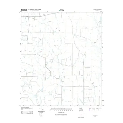
2012 Map of Husser
USGS Topo · Published 2012About this map
Osceola and the village of Husser serve as the primary hubs in this parish landscape, where a dense network of family cemeteries reflects generations of local settlement. The terrain is defined by the winding course of the Tchefuncte River on the eastern border and the central drainage of Chappepeela Cr, which is fed by numerous tributaries including Snow Cr and Spring Cr. These waterways dictate the placement of rural roads and homesteads across the quadrangle.
Find a feature on this map
93 named features on this map. Tap any name to fly to it.
Don’t see what you’re looking for? This feature index may not catch every label — zoom into the map to look around manually.
Map Details
Editions of this 2012 Husser Map
This is the sole edition of this map. No revisions or reprints were ever made.
Other maps of this area

1940 · Tickfaw
USGS Topo · 1:31,680

1942 · Onville
USGS Topo · 1:31,680

1942 · Husser
USGS Topo · 1:31,680

1942 · Robert
USGS Topo · 1:31,680

1942 · Wilmer
USGS Topo · 1:31,680

1942 · Loranger
USGS Topo · 1:31,680

1949 · Bolivar
USGS Topo · 1:31,680

1950 · Folsom
USGS Topo · 1:31,680

1950 · Franklinton
USGS Topo · 1:31,680

1954 · Folsom
USGS Topo · 1:62,500