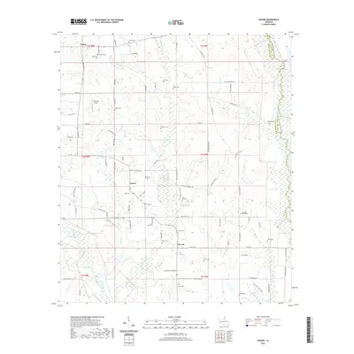
2020 Map of Husser
USGS Topo · Published 2020About this map
Chappepeela Cr and its numerous tributaries, including Spring Cr and Snow Cr, define the drainage patterns of this rural landscape in Tangipahoa Parish. The settlement of Husser serves as a central point for a network of family-named roads like Leonard F Husser Rd and J Bankston Rd, while Osceola sits further south near the wetlands of Buzzards Roost Swamp.
Find a feature on this map
100 named features on this map. Tap any name to fly to it.
Don’t see what you’re looking for? This feature index may not catch every label — zoom into the map to look around manually.
Map Details
Editions of this 2020 Husser Map
This is the sole edition of this map. No revisions or reprints were ever made.
Other maps of this area

1940 · Tickfaw
USGS Topo · 1:31,680

1942 · Onville
USGS Topo · 1:31,680

1942 · Husser
USGS Topo · 1:31,680

1942 · Robert
USGS Topo · 1:31,680

1942 · Wilmer
USGS Topo · 1:31,680

1942 · Loranger
USGS Topo · 1:31,680

1949 · Bolivar
USGS Topo · 1:31,680

1950 · Folsom
USGS Topo · 1:31,680

1950 · Franklinton
USGS Topo · 1:31,680

1954 · Folsom
USGS Topo · 1:62,500