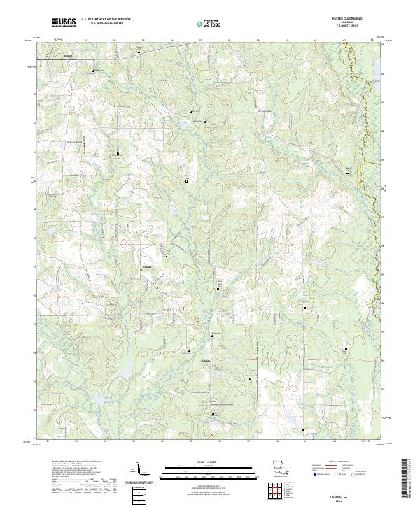
2024 Map of Husser
USGS Topo · Published 2024About this map
Chappepeela Creek and its many tributaries, including Singing Waterfall and Black Branch, carve through this landscape at the intersection of Tangipahoa, Washington, and St Tammany Parish. The area is characterized by a dense network of family-named cemeteries and rural settlements like Husser and Osceola. These small communities are connected by a web of local roads such as Dohm Rd and Strahan Rd, reflecting a long history of timber and agricultural land use in the Louisiana pine woods.
Find a feature on this map
108 named features on this map. Tap any name to fly to it.
Don’t see what you’re looking for? This feature index may not catch every label — zoom into the map to look around manually.
Map Details
Editions of this 2024 Husser Map
This is the sole edition of this map. No revisions or reprints were ever made.
Other maps of this area

1940 · Tickfaw
USGS Topo · 1:31,680

1942 · Onville
USGS Topo · 1:31,680

1942 · Husser
USGS Topo · 1:31,680

1942 · Robert
USGS Topo · 1:31,680

1942 · Wilmer
USGS Topo · 1:31,680

1942 · Loranger
USGS Topo · 1:31,680

1949 · Bolivar
USGS Topo · 1:31,680

1950 · Folsom
USGS Topo · 1:31,680

1950 · Franklinton
USGS Topo · 1:31,680

1954 · Folsom
USGS Topo · 1:62,500