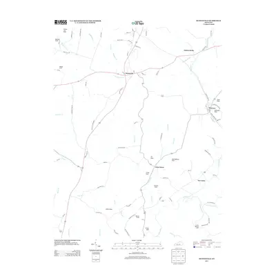
2013 Map of Hustonville
USGS Topo · Published 2013About this map
Hustonville serves as the focal point for this section of Lincoln County, where the headwaters of the Green River emerge in the south and drainage from Hanging Fork Cr flows north. The landscape is defined by a series of prominent knobs and ridges, including Gordon Lick Knob and McKinney Bluff, which dictate the winding paths of rural connectors like Old US 127.
Find a feature on this map
86 named features on this map. Tap any name to fly to it.
Don’t see what you’re looking for? This feature index may not catch every label — zoom into the map to look around manually.
Map Details
Editions of this 2013 Hustonville Map
This is the sole edition of this map. No revisions or reprints were ever made.
Other maps of this area

1905 · Harrodsburg
USGS Topo · 1:125,000

1952 · Ellisburg
USGS Topo · 1:24,000

1952 · Halls Gap
USGS Topo · 1:24,000

1952 · Eubank
USGS Topo · 1:24,000

1952 · Hustonville
USGS Topo · 1:24,000

1952 · Liberty
USGS Topo · 1:24,000

1952 · Yosemite
USGS Topo · 1:24,000

1952 · Stanford
USGS Topo · 1:24,000

1952 · Junction City
USGS Topo · 1:24,000

1952 · Parksville
USGS Topo · 1:24,000