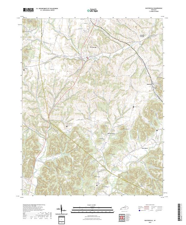
2022 Map of Hustonville
USGS Topo · Published 2022About this map
Hustonville serves as the primary hub in this central Kentucky landscape, situated at the intersection of W Main St and Liberty RD. The terrain is defined by a dense network of high ridges and knobs, including Gordon Lick Knob and Buzzard Knob in the northwest, which overlook the winding course of Hanging Fork Cr. This 2022 survey captures a rural environment where modern infrastructure follows traditional settlement patterns, connecting smaller communities like Chicken Bristle and McKinney. Genealogists will find significant value in the documentation of several family-named burial sites, such as the Cloyd - Hicks Family Graveyard and McCormick Cem, situated among the deep hollows and creek beds. The southern portion of the map is dominated by the upper reaches of the Green River, which flows through a landscape marked by distinctive elevations like Martin Knob and Riffle Ridge.
Find a feature on this map
88 named features on this map. Tap any name to fly to it.
Don’t see what you’re looking for? This feature index may not catch every label — zoom into the map to look around manually.
Map Details
Editions of this 2022 Hustonville Map
This is the sole edition of this map. No revisions or reprints were ever made.
Other maps of this area

1905 · Harrodsburg
USGS Topo · 1:125,000

1952 · Ellisburg
USGS Topo · 1:24,000

1952 · Halls Gap
USGS Topo · 1:24,000

1952 · Eubank
USGS Topo · 1:24,000

1952 · Hustonville
USGS Topo · 1:24,000

1952 · Liberty
USGS Topo · 1:24,000

1952 · Yosemite
USGS Topo · 1:24,000

1952 · Stanford
USGS Topo · 1:24,000

1952 · Junction City
USGS Topo · 1:24,000

1952 · Parksville
USGS Topo · 1:24,000