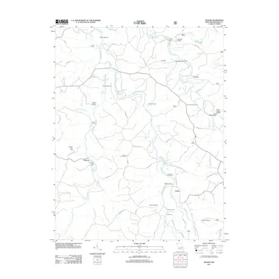
2011 Map of Huzzah
USGS Topo · Published 2011About this map
Courtois Creek and Huzzah Creek carve a winding course through this Missouri landscape, defining the local topography and historical settlement patterns. The map highlights a series of deep hollows and narrows, such as Henpeck Hollow and the Lower Narrows, where the terrain constricts the valley floors. Several small rural communities, including Service and Huzzah, are situated near these waterways, connected by a network of local roads and trails like the Berryman Trl.
Find a feature on this map
69 named features on this map. Tap any name to fly to it.
Don’t see what you’re looking for? This feature index may not catch every label — zoom into the map to look around manually.
Map Details
Editions of this 2011 Huzzah Map
This is the sole edition of this map. No revisions or reprints were ever made.
Other maps of this area

1903 · Sullivan
USGS Topo · 1:125,000

1932 · Steelville
USGS Topo · 1:48,000

1933 · Steelville
USGS Topo · 1:62,500

1937 · Steelville
USGS Topo · 1:62,500

1943 · Berryman
USGS Topo · 1:62,500

1945 · Berryman
USGS Topo · 1:62,500

1947 · Sullivan
USGS Topo · 1:62,500

1948 · Leasburg
USGS Topo · 1:24,000

1949 · Saint Louis
USGS Topo · 1:250,000

1949 · Sullivan
USGS Topo · 1:62,500