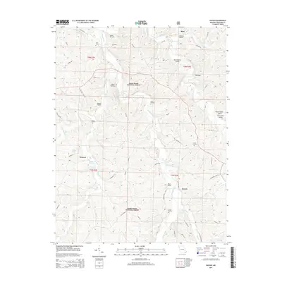
2015 Map of Huzzah
USGS Topo · Published 2015About this map
Huzzah Creek and Courtois Creek wind through this heavily forested landscape within the Mark Twain National Forest. The map documents a rural Ozark terrain characterized by numerous named hollows and springs, such as Hickman Spring and Westover Spring. For the family historian, the sheet is particularly valuable for its documentation of isolated burial sites, including Gibbs Cemetery, Dodkin Cemetery, and Sanders Cemetery. Small settlements like Service and Westover are centered around the local waterways, with the Westover Fisheries representing a distinct commercial land use near the banks of Dry Creek. The landscape is further defined by narrow passages in the topography, identified as the Lower Narrows and Upper Narrows, where the creeks have cut deep into the hillsides.
Find a feature on this map
70 named features on this map. Tap any name to fly to it.
Don’t see what you’re looking for? This feature index may not catch every label — zoom into the map to look around manually.
Map Details
Editions of this 2015 Huzzah Map
This is the sole edition of this map. No revisions or reprints were ever made.
Other maps of this area

1903 · Sullivan
USGS Topo · 1:125,000

1932 · Steelville
USGS Topo · 1:48,000

1933 · Steelville
USGS Topo · 1:62,500

1937 · Steelville
USGS Topo · 1:62,500

1943 · Berryman
USGS Topo · 1:62,500

1945 · Berryman
USGS Topo · 1:62,500

1947 · Sullivan
USGS Topo · 1:62,500

1948 · Leasburg
USGS Topo · 1:24,000

1949 · Saint Louis
USGS Topo · 1:250,000

1949 · Sullivan
USGS Topo · 1:62,500